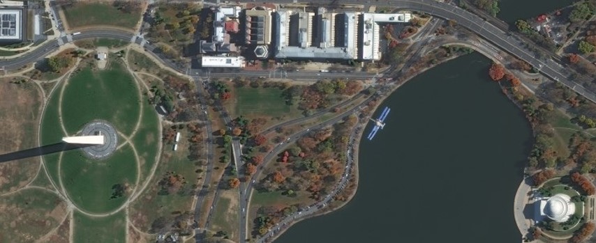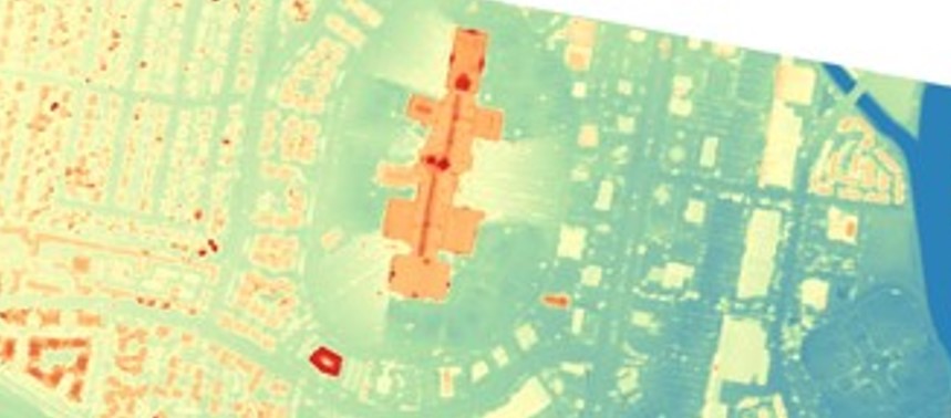
Digital Surface and Terrain Models from Vantor's Precision3D Product Line Added to Satellite Data Explorer
• NASA’s Commercial Satellite Data Acquisition (CSDA) Program announces the addition of three digital elevation and digital terrain products from Vantor’s Precision3D Product Line