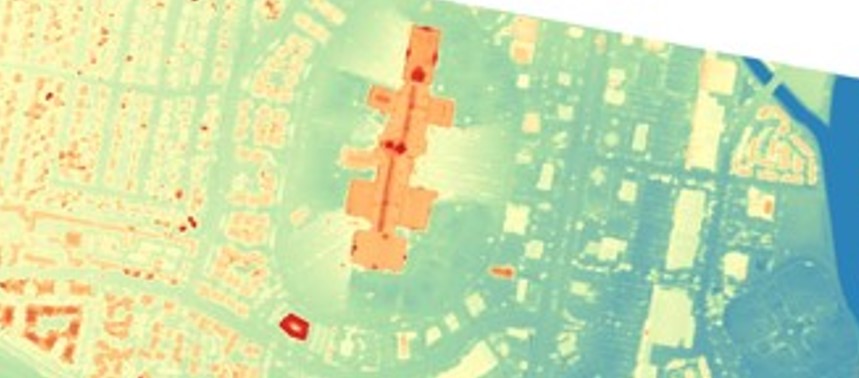
• NASA’s Commercial Satellite Data Acquisition (CSDA) Program announces the addition of three digital elevation and digital terrain products from Vantor’s Precision3D Product Line to its Satellite Data Explorer (SDX) data access and discovery tool. • The products include: Digital Surface Model (DSM) at 1-meter spatial resolution | The DSM is a 3D elevation model derived from imagery captured by Vantor’s constellation of Worldview satellites. • It provides precise measurements across all surfaces and terrains and is available in standard formats to facilitate integration into a range of workflows and analysis. • It is suitable for a range of applications requiring detailed elevation data, such as urban planning, environmental monitoring, disaster mitigation and response, and terrain mapping. • | | Digital Terrain Model (DTM) at 1-meter spatial resolution | The DTM is a 3D elevation model derived from the DSM that offers bare-earth elevation data by removing above-ground features like vegetation and buildings and is designed for analyzing terrain and topography. • Created with automated processing techniques, the DTM ensures consistency across all terrain types and is available in a variety of in user-friendly formats.
Article Summaries:
- NASA’s Commercial Satellite Data Acquisition (CSDA) Program has expanded its Satellite Data Explorer (SDX) to include three new digital elevation products from Vantor’s Precision3D line. The additions are a 1‑meter Digital Surface Model (DSM), a 1‑meter Digital Terrain Model (DTM) derived from the DSM, and an Elevation Bundle combining both DSM and DTM at 1‑, 2‑, and 4‑meter resolutions. These high‑resolution models support applications such as urban planning, environmental monitoring, and hazard modeling. Users must log in to NASA Earthdata, accept the USG End‑User License Agreement, and obtain CSDA approval to download the data.
- NASA’s Commercial Satellite Data Acquisition (CSDA) Program has expanded its Satellite Data Explorer (SDX) by adding three new digital elevation products from Vantor’s Precision3D line. The additions include a 1‑meter Digital Surface Model (DSM), a 1‑meter Digital Terrain Model (DTM) that removes above‑ground features, and an Elevation Bundle combining DSM and DTM at 1‑, 2‑, and 4‑meter resolutions. These high‑resolution datasets, derived from Vantor’s Worldview satellite imagery, are intended for applications such as urban planning, environmental monitoring, and hazard modeling. Users can access the data through SDX using an Earthdata login, subject to a US government End‑User License Agreement and CSDA approval.
Sources: