• AI-powered drones monitor endangered Māui dolphins, aiding conservation efforts in New Zealand. • Only 54 known individuals, making them one of the world’s most threatened marine mammals. • Researchers combine drone footage, AI analysis, and cloud computing to map habitats and behaviors. • Microsoft AI for Earth partners, like Conservation Metrics, enhance survey scale with machine learning. • High-resolution ArcGIS maps from NatureServe help identify critical habitats for protection. • This tech-driven approach can be replicated for other endangered ocean species worldwide.
Article Summaries:
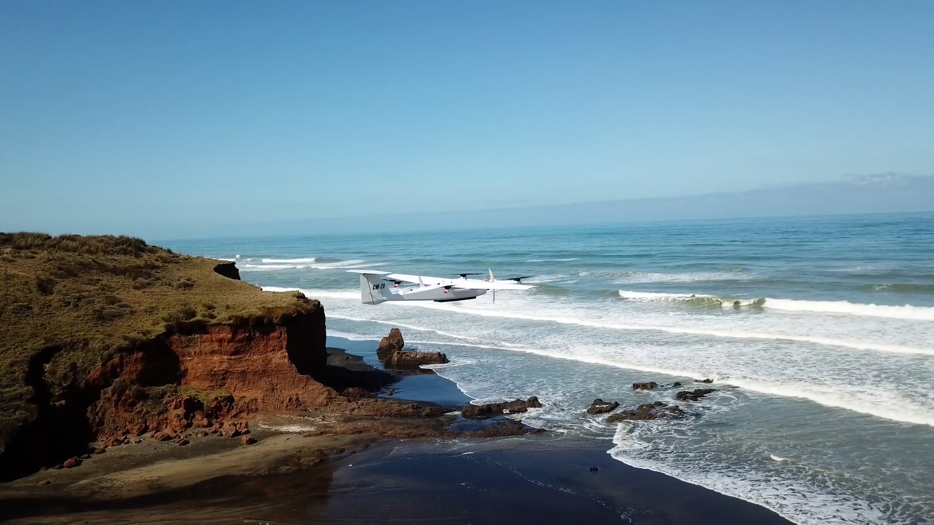
- Scientists and conservationists are deploying AI‑equipped drones to monitor the critically endangered Māui dolphin (just 54 known individuals) off New Zealand’s west coast. The not‑for‑profit group MAUI63 uses machine‑learning algorithms and cloud computing to detect, track and identify dolphins that are difficult to spot with traditional methods. The project, part of a broader trend of using AI for wildlife surveys, also partners with Microsoft AI for Earth, Conservation Metrics and NatureServe to generate high‑resolution habitat maps and improve data collection. The goal is to fill knowledge gaps, especially in winter, and provide a scalable model for protecting other threatened marine species.
Sources: